On this page: TEXAS Homestead: Joseph Smith EDGAR's Land Grants
Latest update: Saturday, 2 February, 2008
Find details, photos, and sources in the Family Tree Database.
Family members referenced on this page: James EDGAR, Selah WITHERINGTON, Joseph Smith EDGAR
In 1835 James Edgar's and Selah Witherington's 17-year-old, firstborn son, Joseph Smith left Maury County, Tennessee for
Texas to participate in the Texas Revolution to gain independence from Mexico. For his immigration to Texas and his
participation in the Revolution, in 1838 Joseph posthumously received three land grants from the Republic of Texas.
The largest land grant of "one-third of a league of land" or 1,476.13 acres was located in DeWitt County, Texas and became
the Edgar Family Homestead, when James and Selah and their family left Tennessee in 1853 and immigrated to Texas.
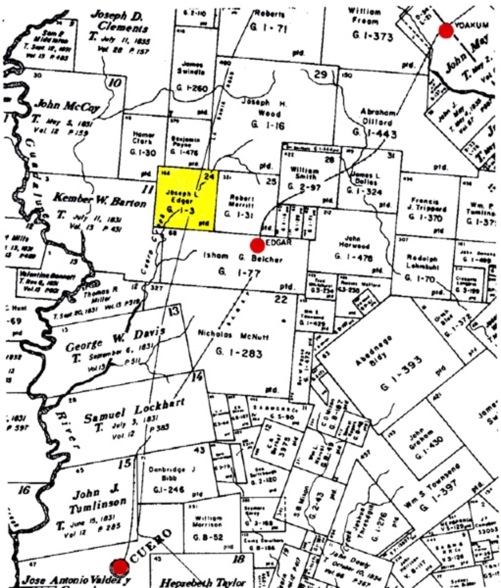
This is "a map showing the largest parcel of land. The name was incorrectly recorded on this map as
Joseph L. Edgar rather than Joseph S. Edgar. But, that's the third of a league (about 1,400 acres) on
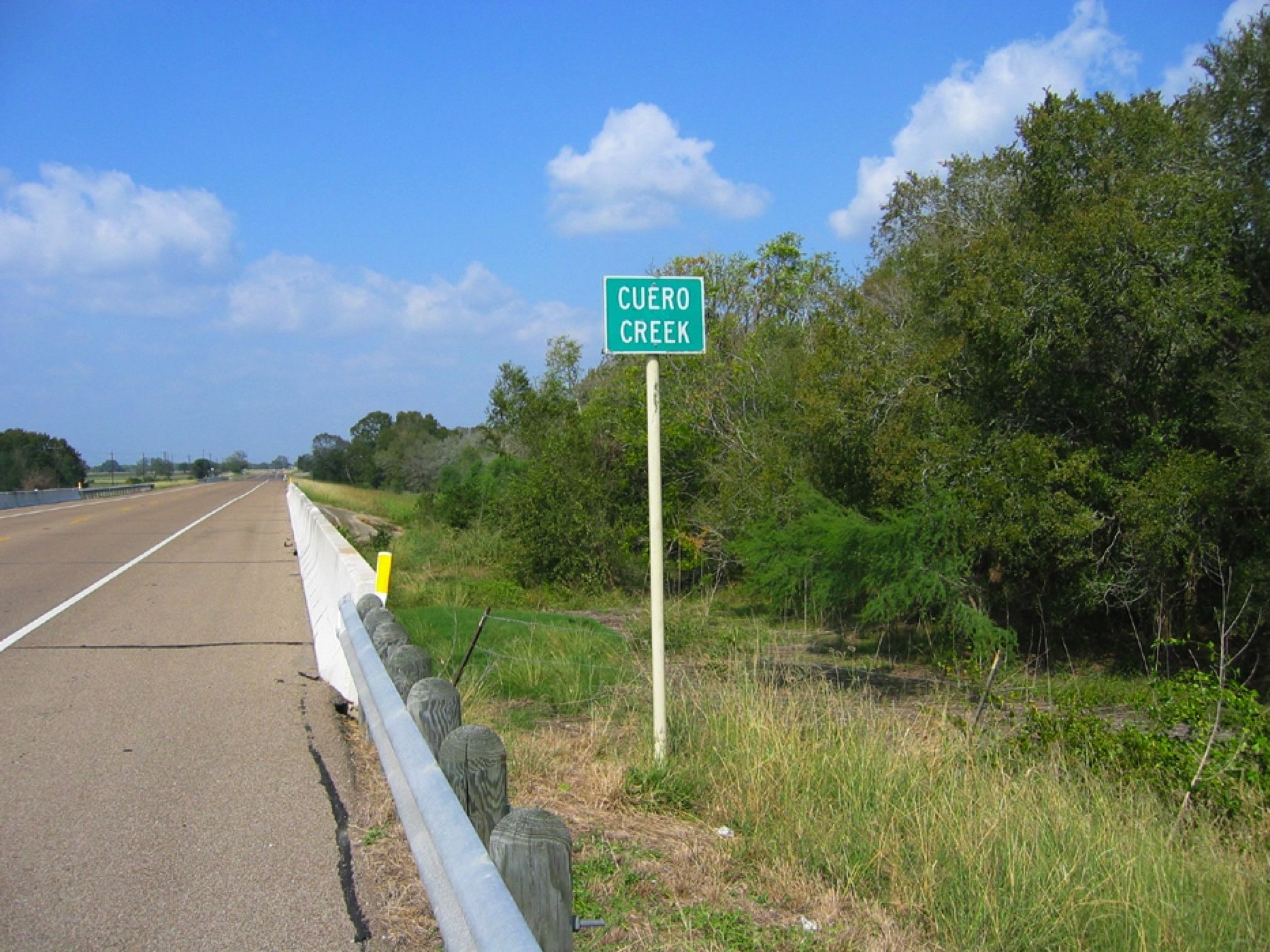
which the Edgar family settled in 1853. Cuero Creek ran through the property which made that parcel
of land especially valuable. And, one of the original east-west wagon roads through that part of Texas
skirted the property. The parcel of land is shown shaded in yellow. And, the three red dots show the
locations of Cuero, Edgar, and Yoakum." source: Robert Webb, 10June06
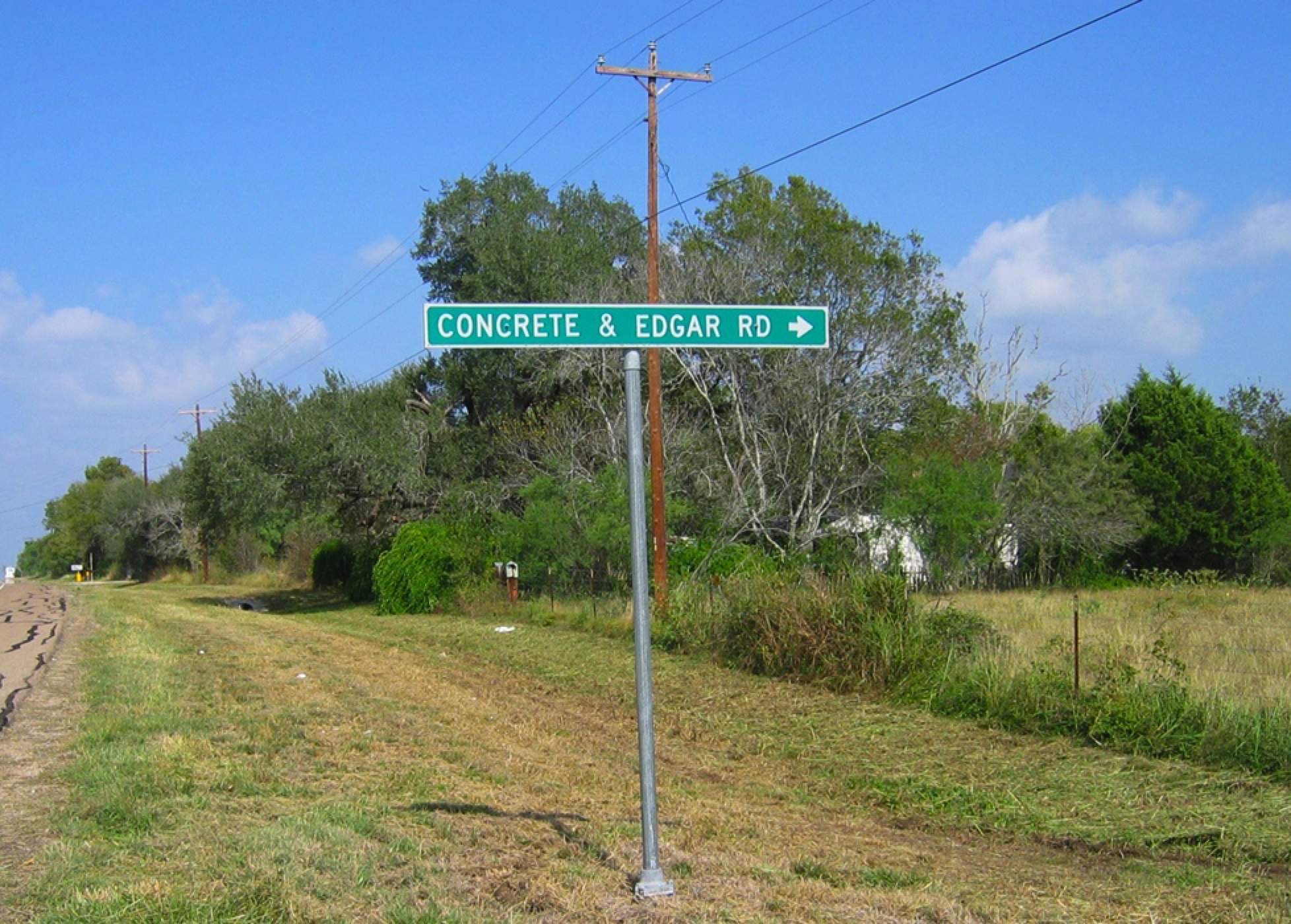
By 2006 the Edgar family homestead was owed by the
Joel Jackson Jr. Ranch, shown on linked satellite photo.
Note the Concrete-Edgar Road and the Brown Road at
the bottom of the map and the Cuero Creek running
through the property. The Edgar Family Cemetery is still
on the property.
Taken in 2007, the GPS coordinates of the Edgar homestead and cemetery, just northwest of the town of Edgar, TEXAS, are
29.22415N, -97.25612W.