Latest update: Monday, 12 October, 2015
Friday and Saturday, 16 and 17 October 2015
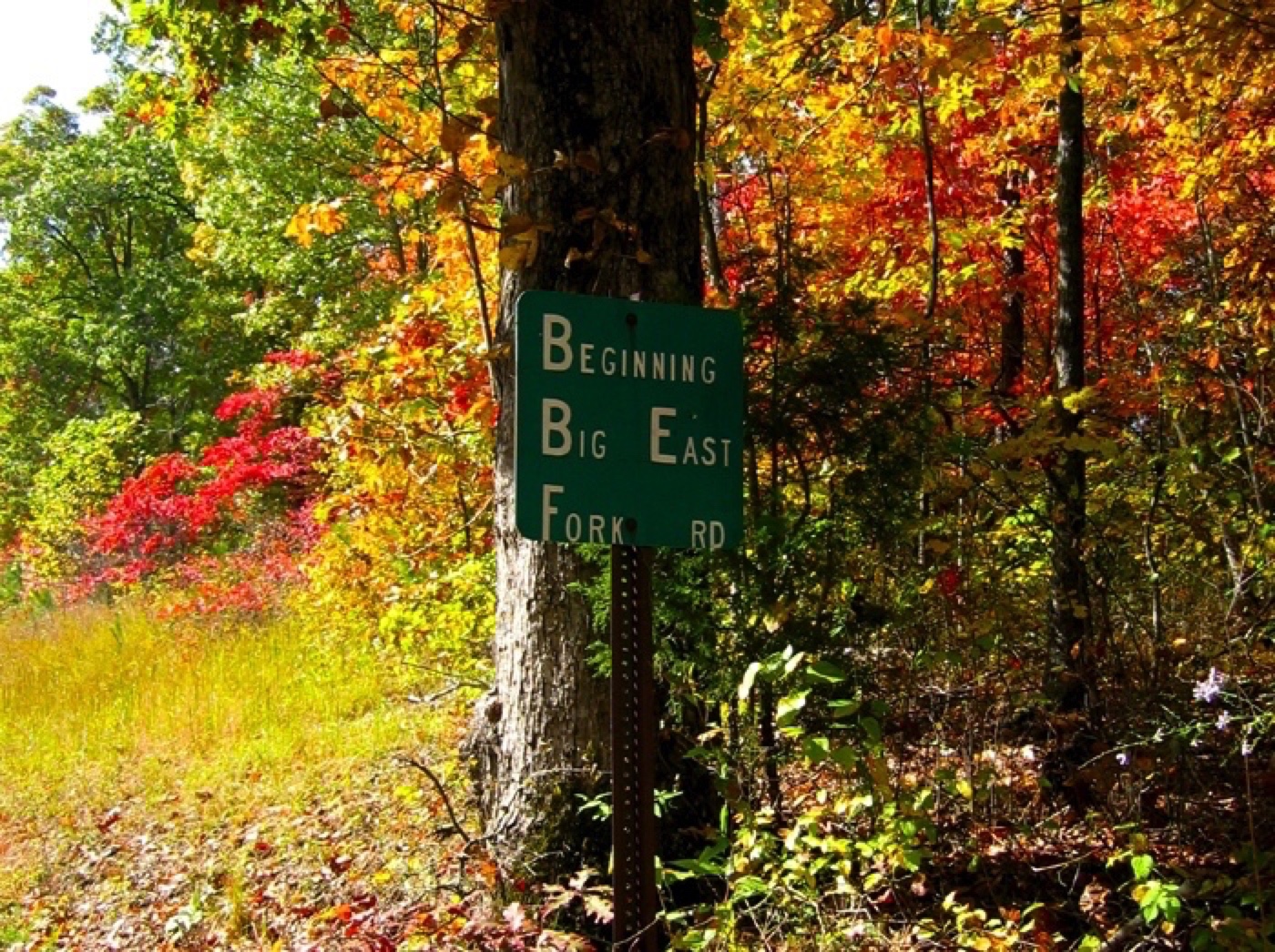
Franklin, Maury County, TENNESSEE
RSVP
Join us for a gathering hosted by EDGAR descendants
• Bob WEBB and his wife, Jane
• Ellen “Tinker” EDGAR WALKER and her husband, Doyce
• Mary Pat’s daughter, Marsha WELL WILLIAMS
and her husband Steve.
(Mary Pat as well as Marsha and her family now live
in Franklin, Maury County, TENNESSEE.
This gathering is planned for Friday, October 16th in Franklin, Maury County, TN.
There will be a presentation of the latest version of the EDGAR family history websites, led by Bob WEBB, with particular focus
on the following
• our EDGAR ancestors when they lived in Maury and Williamson Counties, TENNESSEE
• the times and reasons they left the Rocky Creek area of Chester County, SOUTH CAROLINA for TENNESSEE
• where some of them went after leaving in TENNESSEE including TEXAs, MISSOURI, and ILLINOIS.
There will be a guided tour the next day, Saturday, 17 October,
through parts of Maury and Williamson counties known to have been areas where our EDGAR ancestors lived including the
following locations:
• The family of Adam EDGAR and Mary [UNKNOWN] EDGAR in TENNESSEE
• The EDGAR Homestead in TENNESSEE
Field Trip Route
Total loop driving (52.9 miles; 105 minutes)
Frequent stops, photo ops, walking, bushwhacking, and lunch at Netts.
[Note: May try to get to McKnight Cemetery if possible, in the wilderness up the hill.]
• Start and end at Marsha's house
1157 Summerville Circle
Thompson's Station, TN
• Lasting Hope Cemetery (10.0 miles; 22 minutes)
Bucker Rd. to
Buckner Ln. to
Beechcroft Rd. (TN 247) to
Cleburne Rd. to
Butler Rd. to
Lasting Hope Cemetery
• Sulphur Spring (7.4 miles; 9 min)
Butler Rd. to
Carter's Creek Pike (TN 246) to
Less Robinson Rd. (TN 247) to
Sulphur Spring Branch Rd. to
Sulphur Spring, TN
• Cave Spring Cemetery (2.9 miles; 6 minutes)
Sulphur Spring Branch Rd. to
Old Leipers Creek Rd. to
Algie Sewell Rd. to
Cave Spring Cemetery
• Netts Country Store & Deli (2.1 miles; 4 minutes)
Algie Sewell Rd. to
Leipers Creek Rd. to
Netts Country Store & Deli
"Look at Netts Country Store & Deli with Google Maps. Then, look at Sewell Rd. On another map I have, that branch
alongside that road is identified as "Sewell Branch." It's right where Leipers Creek turns from a gentle west southwest direction
more sharply into a south south west direction for a short stretch before turning again toward west southwest. I believe Netts is
very, very near where our EDGAR land was located! And, it's where I was already planning for us to have lunch. Serendipity
and meant to be?" email Bob WEBB, 11 Oct 2015
• Fly's General Store (3.1 miles; 4 minutes)
Leipers Creek Rd. to
TN 7 to
Fly's General Store
• Woolard Rd. (3.2 miles; 15 minutes)
TN 7 to Hay Hollow Rd to
Woolard Rd.
• Santa Fe ( 2.9 miles; 6 minutes)
Woolard Rd. to Fly Rd.
Fly Rd. to Santa Fe
• Robert Skelley Rd. (5.3 miles; 9 minutes)
Santa Fe. Pike to
Snow Creek Rd. (TN 247) to
Robert Skelley Rd.
• 1157 Summerville Circle (17 miles; 30 minutes)
Snow Creek Rd. (TN 247) to
Les Robinson Rd. (TN 247) to
Carters Creek Pike (TN 246) to
Beechcroft Rd. (TN 247) to
Buckner Ln. to
Buckner Rd. to
1157 Summerville Circle