On this page: SOUTH CAROLINA; Craven County; Camden District; St Mark Parish; Chester County
Latest update: Monday, November 28, 2011
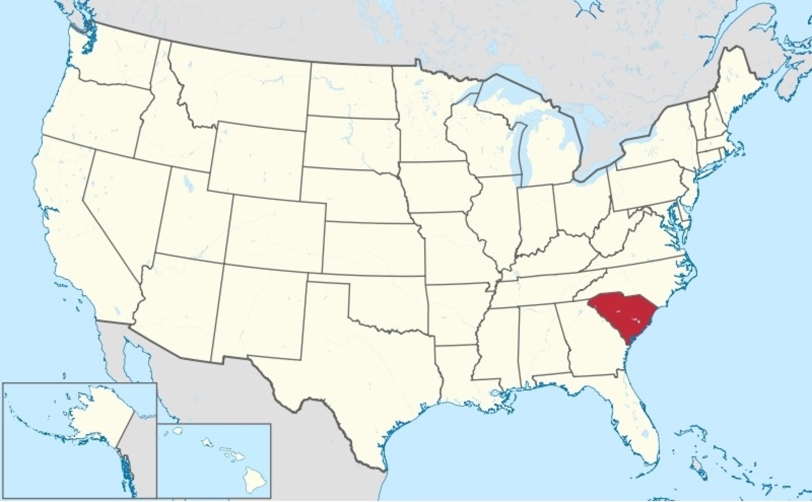
SOUTH CAROLINA
"In the 1700-1770 era the colony possessed many advantages -
entrepreneurial planters and businessmen, a major harbor, cost-
efficient African slave labor and an attractive physical environment,
with rich soil and a long growing season, albeit with endemic malaria.
It became one of the wealthiest of the British colonies.
"The Low Country, was settled first, dominated by wealthy men who
became owners of large amounts of land on which they created
plantations. They first transported white indentured servants as
laborers, mostly teenage youth from England who came to work off
their passage in hopes of learning to farm and buying their own land.
"In contrast to the Tidewater, the back country was settled chiefly by Scots-Irish and North British migrants who had
quickly moved down from Pennsylvania and Virginia. The immigrants from Ulster, the Scottish lowlands and the
north of England (the border counties) comprised the largest group from the British Isles before the Revolution.
They came mostly in the 18th century, later than other colonial immigrants. Such 'North Britons were a large majority in much
of the South Carolina upcountry.' The character of this environment was 'well matched to the culture of the British
borderlands.' Such immigrants settled in the backcountry throughout the South and relied on subsistence farming. They
mostly did not own slaves. Given the differences in background, class, slaveholding, economics and culture, there was
longstanding competition between the Low Country and Upcountry that played out in politics.
"During the American Revolution the Scots Irish in the back country in most states were noted as strong patriots… South
Carolina banded together with the other colonies to oppose British taxation in the Stamp Act Crisis of 1765, and played a
major role in resisting Britain. It became independent in March 1776 and joined the United States of America. The Revolution
was bloody and hard fought in 1780-81, as the British invaded, captured the American army and finally was driven out."
CRAVEN COUNTY
"Craven County was created by the Carolina Proprietors in 1664 as an
original county. At first it consisted of everything south of Cape Fear, North
Carolina, but starting in 1682 other counties began to be carved out of its
territory. From 1664 to 1768 this original Craven County was never surveyed
or properly laid out. Its boundaries were ambiguous and changed over time.
Its county government never became functional. Most records were kept at
the parish level; none were kept at the county level. There was no county
seat. There were no political connotations to the county's existence. In this
case the term "county" had no meaning other than to describe an
approximate geographical area. It was a county in name only. Craven County
was abolished in 1768." Craven County, South Carolina @ FamilySearch.org
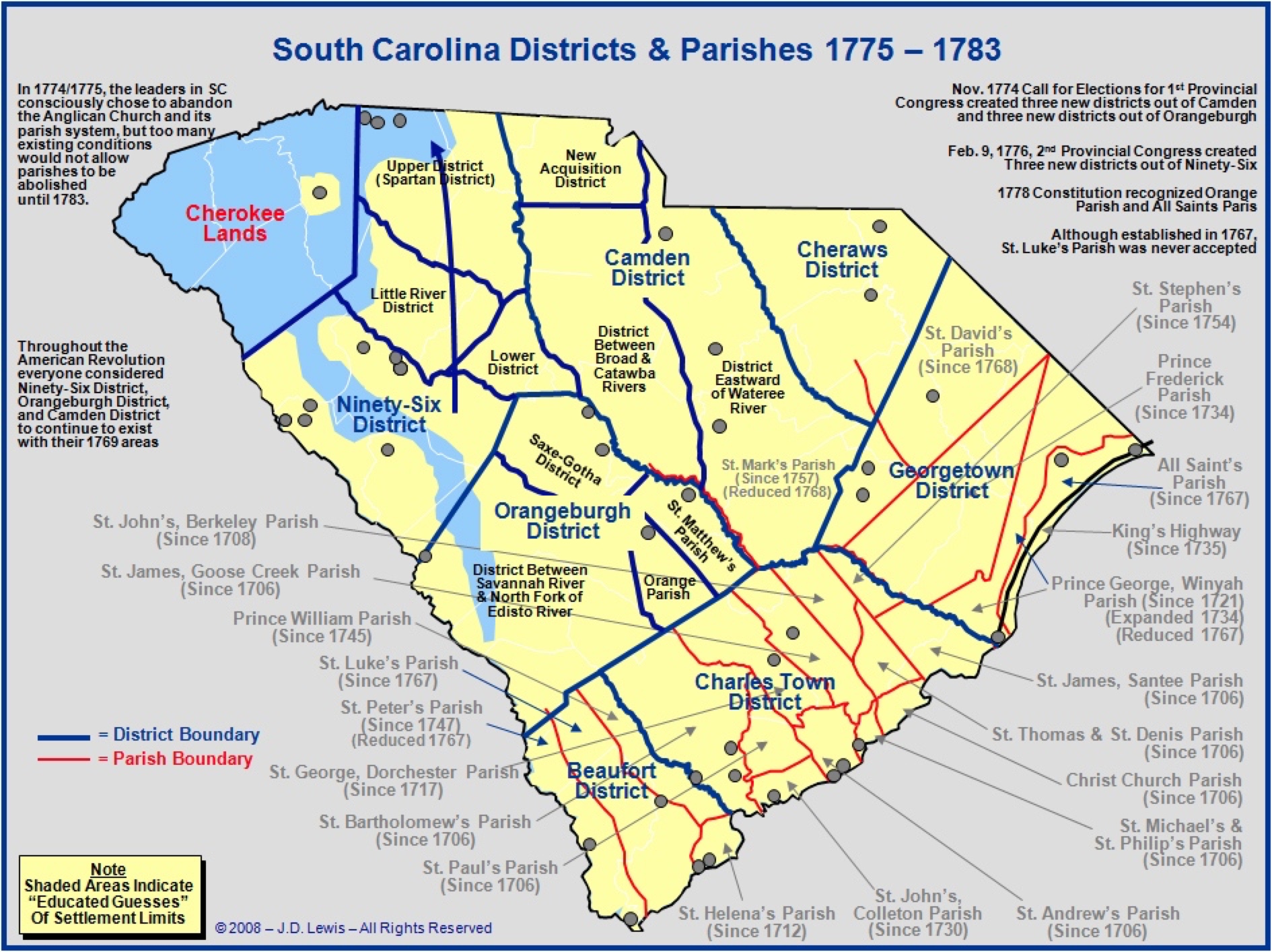
CAMDEN DISTRICT
"Camden district was established in 1768 when South Carolina
eliminated the countIes and created seven Districts. In 1785,
counties were re-established as subsets and subordinate to
the overarching districts." Camden District, South Carolina @
ST. MARK'S PARISH
"St. Mark's Parish (originally in Summerton, Clarendon, SC,
now near Pinewood, Sumter, SC) was created in 1757 from
the northwest side of Prince Frederick Parish." St. Marks
Parish, South Carolina @ FamilySearch.org
• The American Revolution in South Carolina: Districts and
Parishes During the Revolution
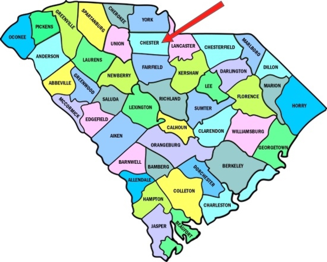
CHESTER COUNTY
The original inhabitants of Chester County were the
Catawba and the Cherokee nations. White traders entered
the area in the early 1700s, and the first settlers came in
the 1750s, largely in the Rocky Creek and Fishing Creek
areas. Early settlers were part of the great Scots-Irish
immigration south from Pennsylvania on the Great Wagon
Road. Others came up from the port of Charleston. The
western part of the county was settled for the most part by
immigrants from Virginia, most of English extraction.
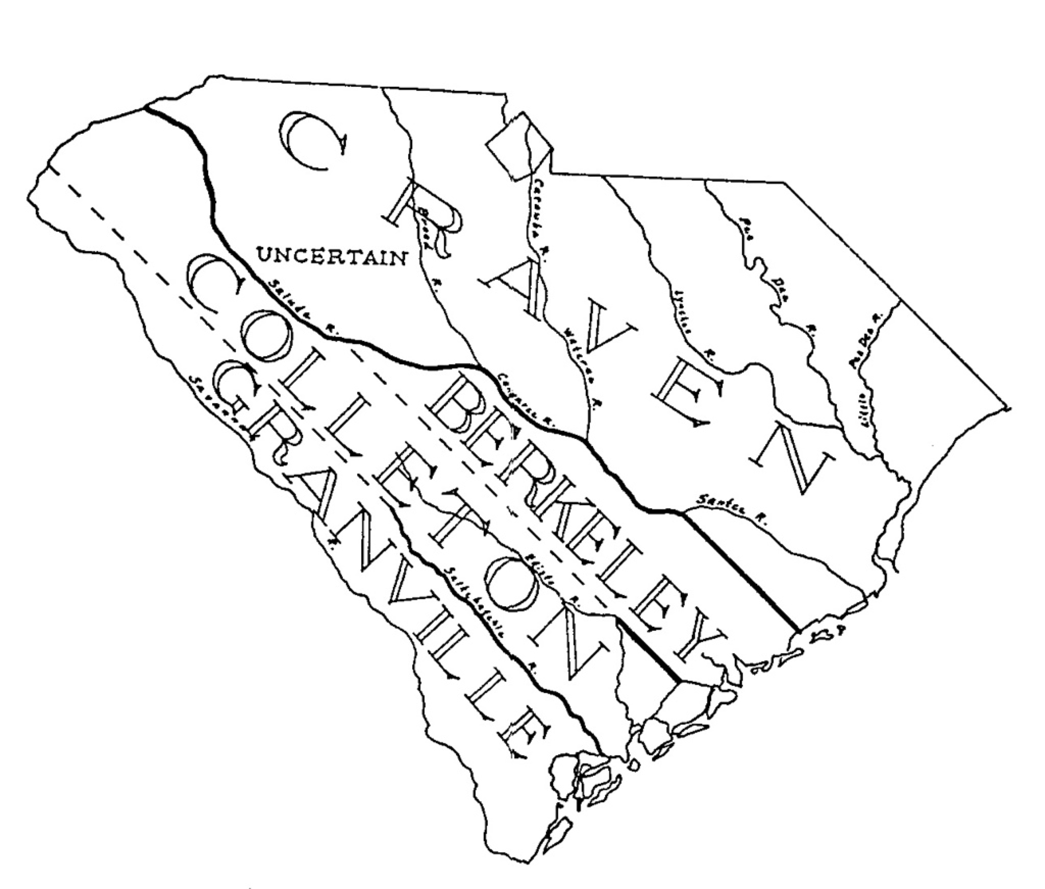
During most of South Carolina's colonial history, the colony
was divided into only four counties as shown in the
following map. County boundaries in the South Carolina
backcountry were only vaguely defined. In particular, land
tracts lying in the area between the Broad and Saluda
Rivers were, in some land records, stated to be in Craven
County, and, in other records, to be in Berkeley County. It
should be noted, that even though these four counties had
been established, all official record keeping was performed
in Charleston until 1785. Also, until 1769, the courts met
only in Charleston.
The county was formed in 1785 as part of the larger Camden District but was later transferred to Pinckney District
(1791-1800); it became a separate district in 1800.
"South Carolina currently has 46 counties. Counties were established in the colonial period primarily for locating land grants,
with most other governmental activities being centralized in Charleston. The growth of the backcountry led to the
establishment of judicial districts throughout the colony, but lowcountry areas continued to be identified primarily by their
Anglican parish names. Following the Revolution, both district and county courts were established, but in 1800 most of the
counties became districts. Finally, in 1868 all of the existing districts were renamed counties. New counties continued to be
formed until the early part of the 20th century, with the most recent being Allendale in 1919. For maps and information on
early counties and districts, see Maps Tracing the Formation of Counties in South Carolina"
During the Revolutionary War, American forces under General Thomas Sumter were defeated here at the battle of Fishing
Creek in August 1780; the Americans were victorious at Fishdam Ford in November of the same year.
The city of Chester began to build up around the courthouse, founded at the site in the 1790s.
• South Carolina State Library
• South Carolina: Individual County Chronologies
ROCKY CREEK
• Rocky Creek Bridge (+34.58861, -80.94333)